Property Mapping Service
Data Insight (GIS) is a licenced reseller of Ordnance Survey mapping.
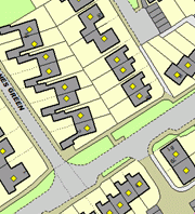
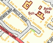
For OS MasterMap products we are able to geocode/digitise your property assets and supply the mapping that only covers the area relevant to your business, thereby reducing your costs.
Customer Requirements
Most of the Ordnance Survey products can be supplied for your required geographic area in their native GML format or pre-converted into specific GIS software formats before delivery if preferred. The digital data is then supplied on DVD or by FTP.
Ordnance Survey Mapping
We sell the following Ordnance Survey mapping products covering Great Britain for use within GIS software:
- VECTOR PRODUCTS

- OS MasterMap® Topography
- AddressBase Products
- Code Point® with Polygons
- RASTER PRODUCTS
- 1:25 000 Scale Colour Raster
- 1:50 000 Scale Colour Raster
We can also supply other Ordnance Survey datasets, such as Integrated Transport Network™ (ITN) Layer, OS VectorMap™ Local, Land-form PROFILE® and Points of Interest on request.
OS Open Data Products
We offer the following Ordnance Survey OpenData™ products and can tailor these to meet your GIS software needs. These are as follows:
- 1:50 000 Scale Gazetteer

- 1:250 000 Scale Colour Raster
- Boundary-Line™
- Code-Point® Open
- MiniScale®
- OS Locator
- OS Street View®
- OS VectorMap™ District
For more information on Ordnance Survey products please contact us.

